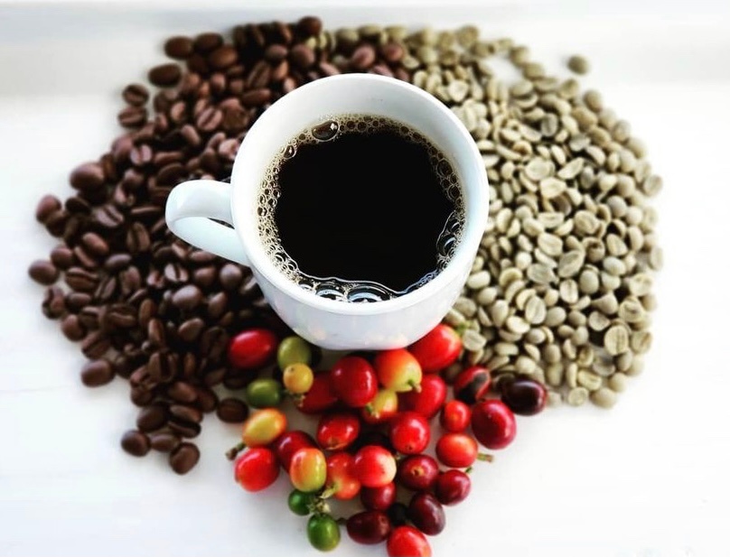
“Brew Your Best Cup”- Coffee Brewing Workshop
Heavenly Hawaiian Coffee Farm • Farm • Holualoa, Island of Hawaii • Hawaii

Your Essential Logistics & Navigation Guide

Local Driving Expert
Kalani MillerThe second thing every visitor needs to understand is that driving here is different. Forget what Google Maps tells you about the "fastest route." On the Big Island, the journey is the destination, and our roads demand respect. Many are narrow, two-lane routes that would be considered farm roads on the mainland, often with no shoulder, steep drop-offs, and very little lighting at night. Cell service can be sparse in many areas, so you're often on your own if you have car trouble.
This isn't to scare you, but to prepare you. Slow down, let the faster drivers pass, and build extra time into every trip.
Remember: On the Big Island, the journey IS the destination. Our roads demand respect and patience. Build extra time into every trip and enjoy the incredible scenery along the way.
This map shows the three main arteries that connect the east and west sides of the island. Each has a completely different character.
This is my home, and in my opinion, the most beautiful drive on the island. This route winds along the northeastern coast, offering jaw-dropping views of deep, lush valleys and the Pacific Ocean. It connects Hilo to Waimea and then continues down the coast to Kona. The drive is filled with historic plantation towns, stunning waterfalls like ʻAkaka Falls, and botanical gardens.
Must-do detour: The Onomea Scenic Drive (also called the Pepeʻekeo Scenic Drive), a 4-mile stretch of the old highway that feels like traveling through a tropical cathedral. This route takes longer, but it's worth every minute.
This is your functional shortcut, a modern highway that slices through the high plateau between our two largest volcanoes, Mauna Kea and Mauna Loa. While it can save you 20-30 minutes compared to the northern route, the weather here is no joke. You can go from bright sun to dense, pea-soup fog with only a few feet of visibility in a matter of minutes.
⚠️ Weather Warning: Keep your headlights on and be prepared for sudden weather changes. It's a stark, otherworldly landscape of ancient lava flows with powerful beauty all its own.
This is the long way around, connecting Kona to Hilo through the southern part of the island. This drive is a journey through history and geology. It takes you past Hawaiʻi Volcanoes National Park, the famous Punaluʻu Black Sand Beach, and Ka Lae (South Point), the southernmost point in the United States.
Highlights: The roads here are quiet and pass through small, historic towns like Nāʻālehu and Pāhala. Perfect for those who want to explore at a leisurely pace.
To help you plan, here's a quick reference for estimated driving times between key locations. Remember, these are estimates without stops or traffic. Always add extra time!
Seeing that it takes over two hours to get from the main resort area in Kona to the national park should tell you something important about planning your trip. Trying to do it all from one home base can lead to a lot of time spent in the car.
It's vital to check for road work and closures before you head out. The Hawaiʻi Department of Transportation (HIDOT) website provides weekly updates on lane closures for things like grass cutting or road striping. And in areas like Puna, roads are still being rebuilt after the massive 2018 Kīlauea eruption, so be aware that your GPS might not be up to date with the latest conditions.
Now that you know the routes, learn about the 11 different climate zones you'll encounter and what to pack for each.
Explore Climate Zones
Heavenly Hawaiian Coffee Farm • Farm • Holualoa, Island of Hawaii • Hawaii

