Big Island Hawaii Maps
Everything You Need to Know Before You Go

Written by a Big Island Local Expert
Kalani MillerWelcome to the Big Island: Your Personal Compass
Aloha! I'm Kalani Miller. For as long as I can remember, the Big Island has been my compass. I've seen rental cars packed with visitors, maps spread across the dashboard, a look of excitement mixed with total confusion on their faces. And I get it. Our island is immense, a continent in miniature. You can drive from a sun-scorched lava desert to a misty rainforest, and then to the chilly, alpine slopes of a volcano, all before lunch.
Most maps just give you lines and dots. They don't tell you the story or share the feeling of the land. That's why I've created this resource. This isn't just a collection of maps. It's my personal invitation to explore the Big Island the way we do—with understanding, with respect, and with a sense of wonder. Let's explore it together.
The Big Island isn't just big. It's a living, breathing entity shaped by five colossal volcanoes. These giants are the heart of our island, and they dictate everything from our weather to where we build our towns.
The Big Picture - Your Foundation Map
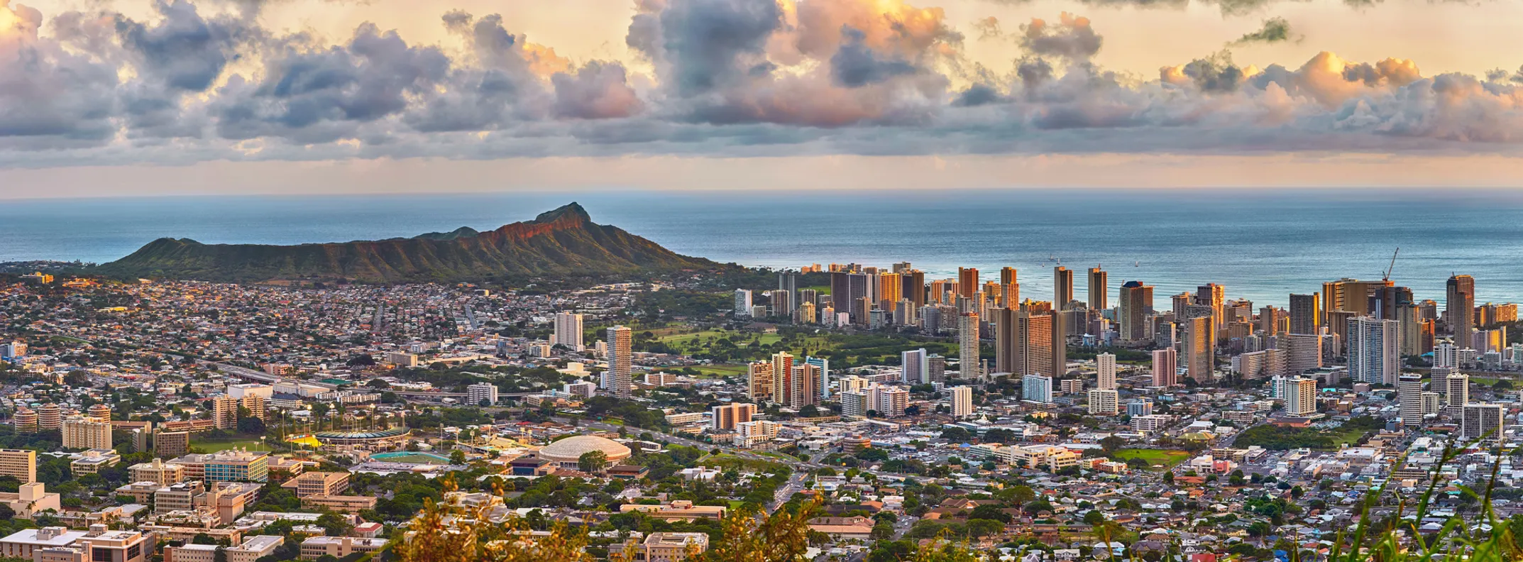
Before you can plan a single day, you need to understand the layout of the land. Look at this map and you'll see two main airports: Ellison Onizuka Kona International Airport (KOA) on the west side and Hilo International Airport (ITO) on the east. Where you land sets the entire tone for your trip, and this is the most critical first decision you'll make.
The reason for this comes down to the volcanoes. The massive peaks of Mauna Kea and Mauna Loa create a powerful rain shadow effect. They block the moist trade winds coming from the northeast, causing all that rain to fall on the eastern, or "windward," side of the island. This leaves the western, or "leeward," side dry and sunny.
☀️ Kona Airport (KOA) - West Side
Land of sunshine, world-class beaches, and sprawling resorts. This is the Hawaii you've likely seen on postcards - dry, sunny, and perfect for classic beach vacations.
🌿 Hilo Airport (ITO) - East Side
A lush, tropical world of cascading waterfalls, dense rainforests, and a historic town that feels like a step back in time. They truly feel like two different islands.
Understanding the Six Districts
Our island is divided into six main regions, or districts. On the west, you have the sunny districts of Kona and Kohala, the main hubs for tourism. To the north lies the dramatic Hāmākua Coast, with its deep valleys and scenic drives. The east is home to the districts of Hilo and the wild, Puna. And to the south, you'll find the vast, quiet, and historic district of Kaʻū.
The major towns you'll hear about are Kailua-Kona (the main town on the west side), Hilo (the largest city on the island), Waimea (our upcountry paniolo, or cowboy, town), and the small, artsy Volcano Village, perched on the edge of the national park. Understanding this basic layout is the first step to planning a trip that makes sense and doesn't have you spending all your time in the car.
Ready to Explore?
Now that you understand the foundation, let's dive deeper into driving routes, climate zones, and where to stay.
Start Planning Your Route🗺️ Map Guide Sections
✈️ Quick Airport Guide
- Kona (KOA): West/Sunny
- Hilo (ITO): East/Lush
- Drive Time: 1hr 45min
- Island Size: 4,028 sq mi
📚 What You'll Learn
- How the 5 volcanoes shape everything
- Which airport matches your style
- The 6 distinct districts explained
- Key towns & their characters
📧 Local Insights
Get insider Big Island tips and hidden gems delivered to your inbox.