Road to Hāna: Mile-by-Mile Guide
The Best Stops and What to Skip on Maui's Legendary Highway

Written by a Local Expert
Jade KawanuiMile-by-Mile Guide to the Best Stops (and What to Skip)
Mile Marker 0 (Pāʻia Town)
Think of this charming surf town as your last outpost of civilization. It's your final chance to fill up your gas tank (there are very few stations on the route), stock your cooler with drinks and snacks, and grab cash from an ATM. Many of the best roadside stands are cash-only.
Mile Marker 2 (Twin Falls)
This is often the first stop for many, with easily accessible waterfalls. It's beautiful, but it gets incredibly crowded. If you didn't get that early start I mentioned, you might spend more time looking for parking (which now has a fee) than enjoying the falls. My take: if the lot is full, don't stress. There are countless, less-crowded waterfalls just ahead.
Mile Marker 16.5 (Keʻanae Arboretum & Peninsula)
This is an absolute must-stop for me. Turn left off the highway to discover a peninsula of old Hawaiʻi. The coastline is rugged and dramatic, with waves crashing against jagged lava rock. The real reason to stop, though, is Aunty Sandy's Banana Bread. Getting a warm, freshly baked loaf is a quintessential Road to Hāna experience.
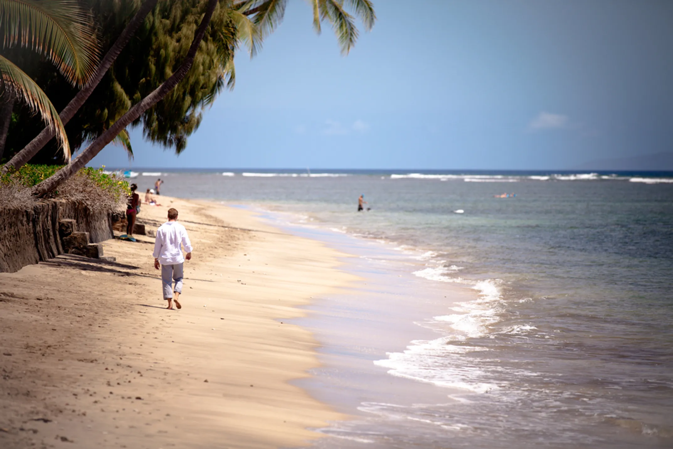
Mile Marker 32 (Waiʻānapanapa State Park)
This stop is non-negotiable, but you must plan ahead. Home to the iconic Paʻiloa Beach, a stunning jet-black sand beach set against turquoise water and green jungle, it's one of the most beautiful places on Maui. You can explore sea caves and ancient coastal trails. Crucially, reservations are now required for all visitors and must be made online in advance. Spots fill up, so book this as soon as you know your travel dates.
Beyond Hāna (The Kīpahulu District)
The journey doesn't end in Hāna town. Continue about 10 miles south to the Kīpahulu District of Haleakalā National Park. This is where you'll find two of the most incredible experiences on the entire drive: the Pīpīwai Trail, a 4-mile roundtrip hike that takes you through a mystical bamboo forest to the base of the towering, 400-foot Waimoku Falls, and the ʻOheʻo Gulch, often called the "Seven Sacred Pools".
The "Backside" to Hāna (Piʻilani Highway)
I get asked about this all the time. Should you drive the "backside" of the island to complete the loop? This route takes you through the stark, beautiful, and arid landscape of Maui's southern coast. The pros are the dramatic scenery and the lack of crowds. However, the cons are significant. The road includes several miles of unpaved, rough sections that are often explicitly prohibited by rental car agreements. There is no cell service, no food, and no help if you run into car trouble.
My advice: For most visitors, especially first-timers, I recommend turning around and enjoying the classic route back. The backside is a true adventure, but the risks can outweigh the rewards if you're not fully prepared.
Road to Hāna Survival Kit
💧 Full Water Bottles & Snacks
There are very few places to buy supplies. A cooler is your best friend.
💵 Cash
Many of the best banana bread and fruit stands don't take cards!
🩱 Swimwear & Towel
For that spontaneous waterfall dip. You'll regret it if you don't.
🦟 Bug Spray
It's a rainforest, after all. The mosquitos are no joke.
👟 Sturdy Water Shoes
Essential for safely navigating rocky stream beds and waterfall pools.
💊 Motion Sickness Remedy
With over 600 curves, even those with strong stomachs can feel it.
📱 Offline Map or Tour App
Cell service is non-existent for most of the drive.
🔋 Portable Battery Charger
Using an offline map app will drain your phone battery quickly.
Continue Exploring Maui
Discover more of Maui's incredible experiences, from Haleakalā to hidden beaches and local activities.
🚗 Road to Hāna Info
- Total Distance: 64.4 miles
- Bridges: 50+ one-lane
- Curves: 600+
- Best Start Time: Before 6 AM
- Duration: Full day