Science on the Summit: Understanding Our Changing World
How Mauna Loa's research helps us understand climate change and volcanic activity

Written by a Local Expert
Leilani AkoA Scientific Treasure at 11,000 Feet
Mauna Loa isn't just culturally important. It's also a scientific treasure. The mountain hosts crucial research that helps us understand our changing planet. The high altitude and remote location make it perfect for certain studies.
Since 1958, scientists here have measured carbon dioxide in our atmosphere. This creates the longest continuous record of atmospheric CO2 on Earth - the famous Keeling Curve that provides key evidence for climate change.
The Mauna Loa Observatory: Watching the Sky
The most famous research happens at the Mauna Loa Observatory. The data shows a clear pattern. CO2 levels rise every year. They also rise and fall with the seasons. Plants absorb CO2 in summer and release it in winter. But the overall trend keeps climbing.
This record, called the Keeling Curve, provides key evidence for climate change. The measurements show that CO2 levels have risen by over 30% since the 1950s. This matches the warming we see around the world.
🌡️ Climate Monitoring
- • Carbon dioxide measurements
- • Greenhouse gas tracking
- • Atmospheric particle studies
- • Solar radiation research
- • Long-term climate records
🌋 Volcanic Research
- • Earthquake monitoring
- • Ground deformation tracking
- • Gas emission studies
- • Eruption prediction models
- • Lava flow analysis
🛰️ Space Technology
- • Satellite ground validation
- • InSAR deformation mapping
- • Remote sensing research
- • GPS monitoring networks
- • Atmospheric calibration
🔬 Atmospheric Physics
- • Air quality measurements
- • Ozone layer monitoring
- • Aerosol particle research
- • Weather pattern studies
- • Climate model validation
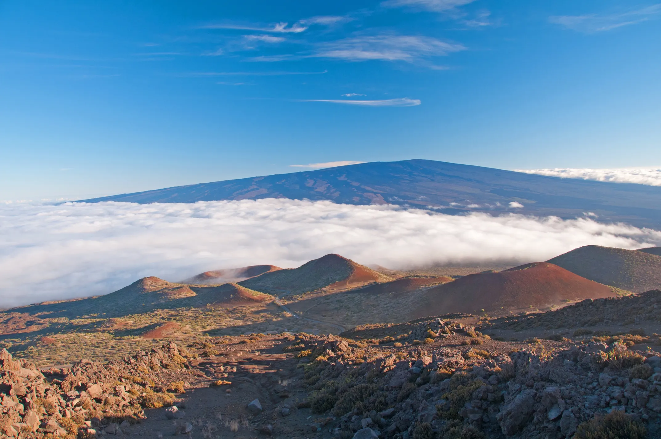
The observatory sits at 11,150 feet above sea level. At this height, it's above much of the atmosphere's turbulence. The location is also far from major pollution sources. This gives clean readings of background atmospheric conditions.
The 2022 eruption created challenges for the observatory. Lava flows threatened the access road. Scientists had to evacuate equipment. Some measurements were interrupted. But the station is back online, continuing its vital work.
Reading the Mountain's Pulse
Scientists also study the volcano itself. They use satellites to watch the mountain breathe. As magma moves underground, it pushes the surface up or down. Satellites can detect these tiny changes.
The technique is called InSAR, or Interferometric Synthetic Aperture Radar. Satellites take radar images weeks or months apart. When scientists compare the images, they see patterns of colored fringes. These fringes show where the ground moved.
How InSAR Works
Satellite Images
Radar captures surface at different times
Compare Data
Scientists analyze differences between images
Detect Movement
Colored fringes show ground deformation
Before the 2022 eruption, satellites showed the summit area rising. This told scientists that magma was building up below. The information helped them predict when and where the eruption might start.
Now, the mountain is still changing. Some areas are still rising slowly. Others are settling as the new lava cools and contracts. These measurements help scientists understand what might happen next.
This technology lets the public see the volcano's hidden activity. USGS posts InSAR images online. You can literally watch the mountain breathing as magma moves below.
📊 Observatory Stats
- Elevation: 11,150 feet
- Since: 1958
- CO2 Record: 65+ years
- Current CO2: 420+ ppm
- 1958 CO2: 315 ppm
🔬 Key Instruments
CO2, CH4, and other greenhouse gases
Earthquake detection network
Precise ground movement tracking
Atmospheric conditions monitoring
📈 The Keeling Curve
30% increase
in atmospheric CO2
since 1958
Named after Charles David Keeling, who started the measurements. This data provides crucial evidence for climate change and influences global policy.
📳 Earthquake Monitoring
- Thousands monitored yearly
- Most too small to feel
- Swarms before eruptions
- Real-time analysis
Weather, Climate, and Global Impact
The observatory doesn't just measure CO2. Scientists study many aspects of our atmosphere. They track greenhouse gases like methane and nitrous oxide. They measure particles in the air. They study how solar energy reaches Earth.
The high-altitude location is perfect for this work. There's less air above to interfere with measurements. The skies are often clear. Light pollution is minimal for solar studies.
Global Climate Data
This research helps us understand how our atmosphere is changing and provides data for climate models worldwide.
Policy Influence
The work happening on Mauna Loa affects climate policy around the world and international agreements.
Future Predictions
Long-term data helps scientists predict future changes and prepare for climate impacts.
Mauna Loa sits in one of the most seismically active places on Earth.
Scientists monitor thousands of small earthquakes every year. Most are too small to feel. But they tell important stories about what's happening underground and help predict where eruptions might occur.