The Sacred Landscape
Understanding Puako's Place in Hawaiian History
Written by a Cultural Expert
Leilani AkoWhere Desert Meets Paradise: The Kohala Coast Story
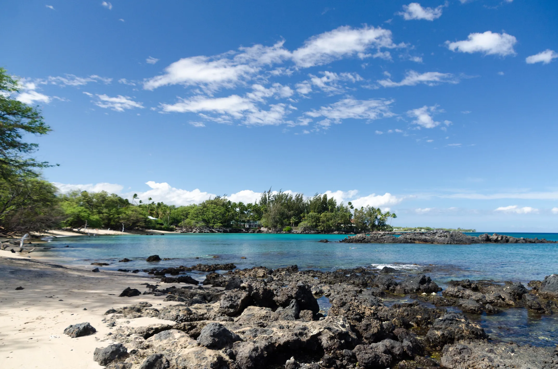
The Kohala Coast stretches along the northwest shore of Hawaii Island like a dramatic stage set. Black lava fields meet brilliant blue ocean. Desert meets paradise. Ancient meets modern. This landscape shaped the people who lived here for centuries before Captain Cook's arrival.
The name Puako comes from the Hawaiian words "pua" (flower) and "ako" (to learn). Together they mean "the learning flower" or "place of learning." How perfect for a site that teaches us about our ancestors.
This wasn't just a place where people carved pictures. It was a thriving community. Fresh water springs bubbled up from underground. Fish filled the nearshore waters. The protected bay provided safe landing for canoes. Families lived here, worked here, raised children here for generations.
A Living, Breathing Community
The petroglyphs tell that story. They're not random art projects. They're the historical record of a living, breathing community. Each image connects to daily life, spiritual beliefs, and family traditions.
Archaeological evidence suggests people first settled this area around 1000 CE. The oldest petroglyphs date to roughly the same period. For nearly 800 years, families added their marks to the lava canvas. Birth records. Boundary markers. Spiritual offerings. Navigation aids. The stone library grew with each generation.
🏛️ 1000 CE - First Settlement
Archaeological evidence shows the first families settling at Puako, establishing a community that would thrive for centuries.
⛰️ 1000-1800 CE - Stone Library Grows
Generation after generation adds their stories to the lava canvas, creating the largest petroglyph field in Hawaii.
🚢 1819 - First Documentation
Spanish explorer Francisco de Paula Marin becomes the first outsider to document these ancient carvings.
🔬 Modern Era - Scientific Study
Archaeologists like Kenneth Emory combine scientific methods with Hawaiian oral histories to understand the site.
The Real Experts: Hawaiian Families
Spanish explorer Francisco de Paula Marin first documented these carvings in 1819. Later visitors included botanist William Hillebrand and archaeologist Kenneth Emory. Each added to our understanding of the site's importance.
But the real experts were always the Hawaiian families who maintained oral histories about this place. They knew which images marked specific events. They understood the spiritual significance of different symbols. They kept the stories alive even as the outside world changed around them.
📊 Site Facts
- Total Area: 233 acres
- Images: 3,000+
- Age Range: 1000-1800 CE
- First Documented: 1819
- Protected Since: 1970s
🌺 Puako Meaning
Pua Flower
+
Ako To learn
=
"The Learning Flower" Place of Learning
🧭 Explore More
🌊 Hawaiian Wisdom
"He aliʻi ka ʻāina; he kauā ke kanaka."
The land is chief; man is its servant. This ancient saying reminds us that we are caretakers of the land, not its masters.
A Landscape Shaped by Fire and Water
To understand the petroglyphs, you must first understand the land that holds them. The Kohala Coast is a study in contrasts—ancient lava flows creating a seemingly barren landscape that actually supported a thriving community for centuries.
Freshwater Springs
Underground springs provided the precious fresh water needed for drinking, cooking, and traditional agriculture in this dry landscape.
Protected Bay
The natural harbor offered safe landing for voyaging canoes and protection from ocean swells during fishing expeditions.
Rich Fishing Grounds
Nearshore waters teemed with fish, providing protein to supplement the community's agricultural and gathered foods.
This combination of resources—fresh water, safe harbor, and abundant marine life—created the perfect conditions for a permanent settlement. The petroglyphs are the lasting record of the families who recognized this land's potential and made it their home for nearly eight centuries.